
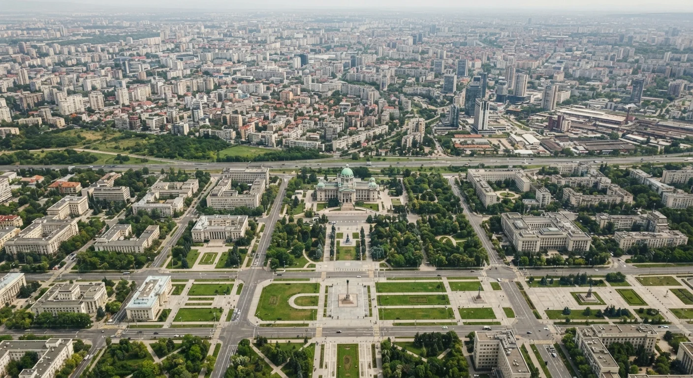
A Pattern Found Across Every Continent
Ask a traveler to name Australia's capital and many will say Sydney. Ask about Nigeria and many will guess Lagos. These are understandable mistakes — both Sydney and Lagos are their countries' largest, most recognizable cities. But neither is the capital. This pattern repeats globally: Karachi versus Islamabad in Pakistan, São Paulo versus Brasília in Brazil, Toronto versus Ottawa in Canada.
This is not an accident or an oversight. In most cases, the separation between political capital and economic hub reflects deliberate decisions made over decades or centuries. Understanding why these splits happen reveals a great deal about how countries form, how power is negotiated, and how geography shapes national identity.
~35%
Countries where capital is not the largest city
Estimates from political geography surveys suggest roughly one in three sovereign nations has a capital that is not its most populous urban center.
1960
Year Brazil moved its capital inland to Brasília
Brazil relocated its seat of government from coastal Rio de Janeiro to the purpose-built interior city of Brasília, one of the most ambitious planned capital projects of the 20th century.
1991
Year Nigeria officially moved its capital to Abuja
Nigeria's federal government completed its relocation from Lagos to the centrally located Abuja to promote national unity across the country's diverse regions.
The Politics of Compromise
One of the most common reasons a capital ends up away from the largest city is political compromise. When a country forms — whether through independence, federation, or unification — competing regions or factions often cannot agree on elevating one existing city above others. The solution is frequently a neutral third location.
The United States followed this logic precisely. After independence, northern states favored Philadelphia or New York, while southern states resisted giving either region that advantage. The result was a purpose-built capital, Washington, D.C., carved from land on the border between North and South. Canberra in Australia and Ottawa in Canada followed similar compromise logic — both were inland sites chosen specifically because they were not the dominant rival city.
“The choice of a capital is never merely a geographic decision — it is always a statement about who the state is for, and which tensions it is trying to manage.”
— Mark Jefferson, Early 20th-century political geographer, known for foundational work on primate cities and urban hierarchy
Geographic Neutrality and Security
Placing a capital in the geographic interior of a country — rather than on a vulnerable coast — has been a recurring strategy throughout history. Inland capitals are harder to blockade or attack from the sea, a meaningful concern during earlier centuries of global conflict.
Brazil moved its capital from coastal Rio de Janeiro to the interior city of Brasília in 1960, partly for defense reasons and partly to stimulate development of the country's vast, underpopulated interior. Myanmar relocated from Yangon to Naypyidaw in 2006, a decision widely attributed in part to strategic military considerations. Geographic centrality also matters: a capital near the middle of a country can plausibly claim to serve all regions equally, rather than privileging a coastal or border population.
Plan Time for Both Cities
When visiting a country whose capital differs from its largest city, consider budgeting time for both. The capital typically houses national museums, government architecture, and embassies, while the largest city often offers broader transport connections and cultural variety. Many travelers find the contrast between the two tells a richer story than either city alone.
Colonial History and Post-Independence Choices
Colonial-era capitals were often port cities — chosen for their value as trade and administrative hubs that connected the colony to the imperial power overseas. After independence, many countries inherited these coastal capitals and found them symbolically or practically problematic.
Some nations kept their colonial capital but others made deliberate breaks. Tanzania, for instance, has been gradually shifting functions toward Dodoma from the colonial-era port of Dar es Salaam. These moves carry symbolic weight: a new interior capital signals a break from an externally oriented colonial past and asserts a national identity rooted in the country's own geography.
What This Means for Travelers
For anyone planning international travel, understanding the capital-versus-largest-city distinction has practical value. The capital is where embassies and consulates are located — essential knowledge if you need to renew a document or report a problem abroad. Government offices, national museums, and official monuments are typically concentrated there as well.
Meanwhile, the largest city often offers more international flight connections, a wider range of accommodation options, and a more varied cultural and culinary scene. Savvy travelers frequently split their visit: arriving into the major commercial hub, then making a separate trip to the capital to experience the country's political and ceremonial heart. Both cities tell different — and equally important — parts of the national story.
This article provides general geographic and travel education. Entry requirements, embassy locations, and travel conditions can change; always verify current information with official government and embassy sources before traveling.